Welcome
Group
Research
Publications
News
Teaching
Join
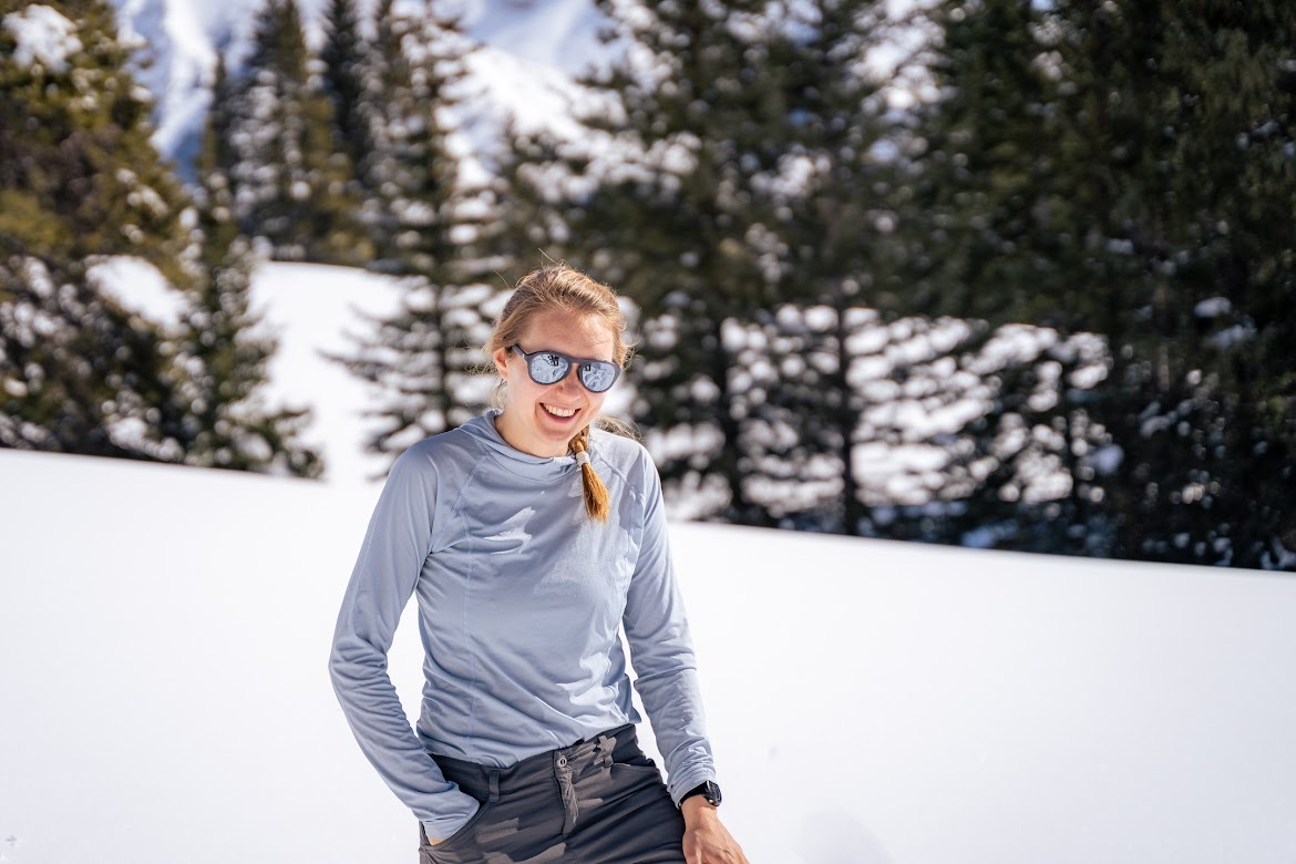
Marianne Cowherd
she/her
Snow and climate science
Follow
Bozeman, MT
Montana State University
Email
Google Scholar
ORCID
GitHub
Research
See publications list. Updates soon.